"Paradise is anywhere with a kayak."
Whether you want an intoduction to sea kayaking or desire an adventure further afield, we have something for everyone here at Sea Kayaking Cornwall. Use our calendar to find convenient dates or browse our available courses and expeditions.
View our latest courses and expeditions..
..or book your event if you know what you'd like to do.
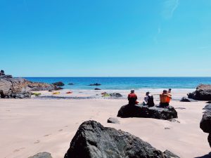

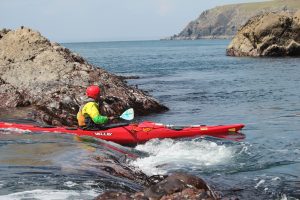
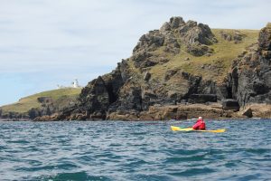

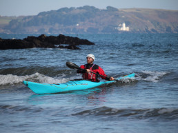
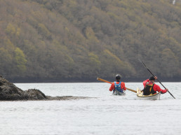
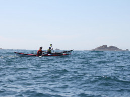
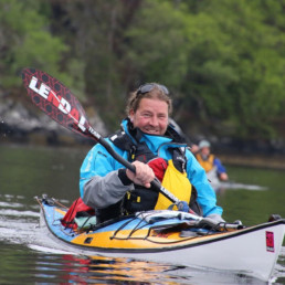
Sea kayaking instruction for paddlers of all abilities
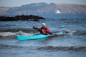
Courses
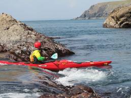
Whichever kayaking course you choose to do with Sea Kayaking Cornwall we will ensure, to the best of our ability, that you get an all round sea kayaking experience. If it is your first time kayaking or if you are choosing to advance and develop your kayaking skills to the next level with us, we will work to make it a very memorable experience. We will give you the self-belief and skills to leave confident and safe in the dynamic ocean environment.

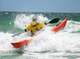

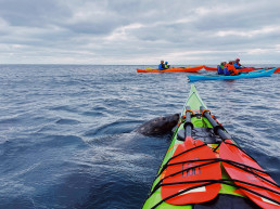
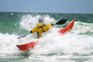
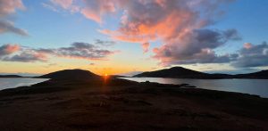
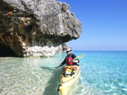
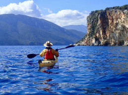
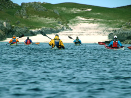
Paddling adventures across the world for kayakers of all abilities
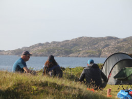
Sea Kayaking Cornwall offer a variety of incredible sea kayaking expeditions. From the rugged Scottish coastline to the azure blue waters of Kefalonia there is an expedition to suit any sea kayaker.
Expeditions
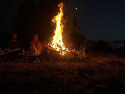
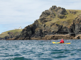
Find out about the people and the place behind Sea Kayaking Cornwall
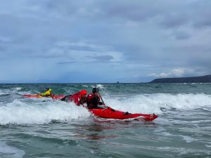
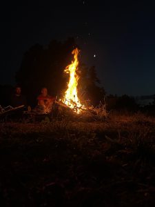
Our Devotion to the Ocean
The decades of sea kayaking experience amongst our team is what makes Sea Kayaking Cornwall the perfect provider to learn from and improve your sea kayaking skills. We pride ourselves on personal attention, focusing on your “needs and desires” as a sea kayaker, so that our customers leave with the self–belief and kayaking skills to be confident and safe in the dynamic ocean environment.
The people make Sea Kayaking Cornwall what it is - read more about the backgrounds of our guides and instructors.
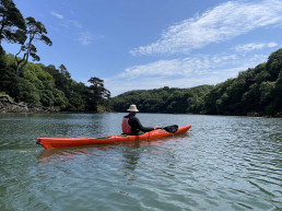
Our wonderful base in Falmouth, Cornwall is located 5 minutes from the perfect beach for kayaking.
Buy Lendal Paddles through Sea Kayaking Cornwall
Each Lendal paddle is built by hand in Rochester, New York by their team of engineers. This group of mad scientists also manufacture most of the in-house paddle components. This gives Lendal the freedom to constantly improve without using generic parts made by someone else who may not share our passion.
Contact Us
Please give us a call if you have any queries or wish to discuss any of our courses or expeditions:
0044 (0)1326 250889 (office)
0044 (0) 7555 763695 (Shaun Rodgers)
0044 (0) 7455 884482 (James Roberts)